|

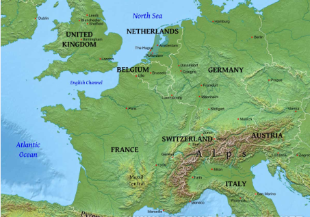
Over the years, people living in the western part of europe have had to adapt and learn how to build cities and towns throughout the plains and major mountains of Europe. With the many river, lakes and mountain ranges, Europeans had to build around these landforms, and even tear some down to make life in parts of Western Europe to be able to occupy that space.
|

|
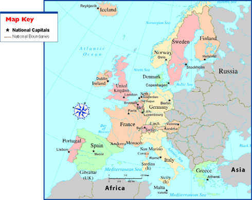
Throughout the course of European history, new borders, names of all the countries in Western Europe have been changed or tweaked. Many smaller states started appearing after World War 1, 2 and the European Union. After WW2, Germany became much smaller weaker, being split into East and West. Six countries such as Netherlands, Belgium, Germany, etc, formed the ECSC, and later, many other countries wanted to join, expanding Western Europe. From that point, many countries have claimed their cities and land, forming more enhanced borders. To this day, there are about 10 full-fledged countries with working borders in West Europe.
|

Sources:
Political Map: http://www.jrank.org/history/article_images/Europe_p40_2.jpg
Historical Map: http://www.timemaps.com/store/timemaps/2011/2/europead500.jpg
Physical Map: http://www.freeworldmaps.net/europe/western/westerneurope-physical-map.jpg
National Geographic (Borders of WE) : http://nationalgeographic.org/lesson/european-borders-through-history/
